
Hikes: Cape Horn Trail, Washington
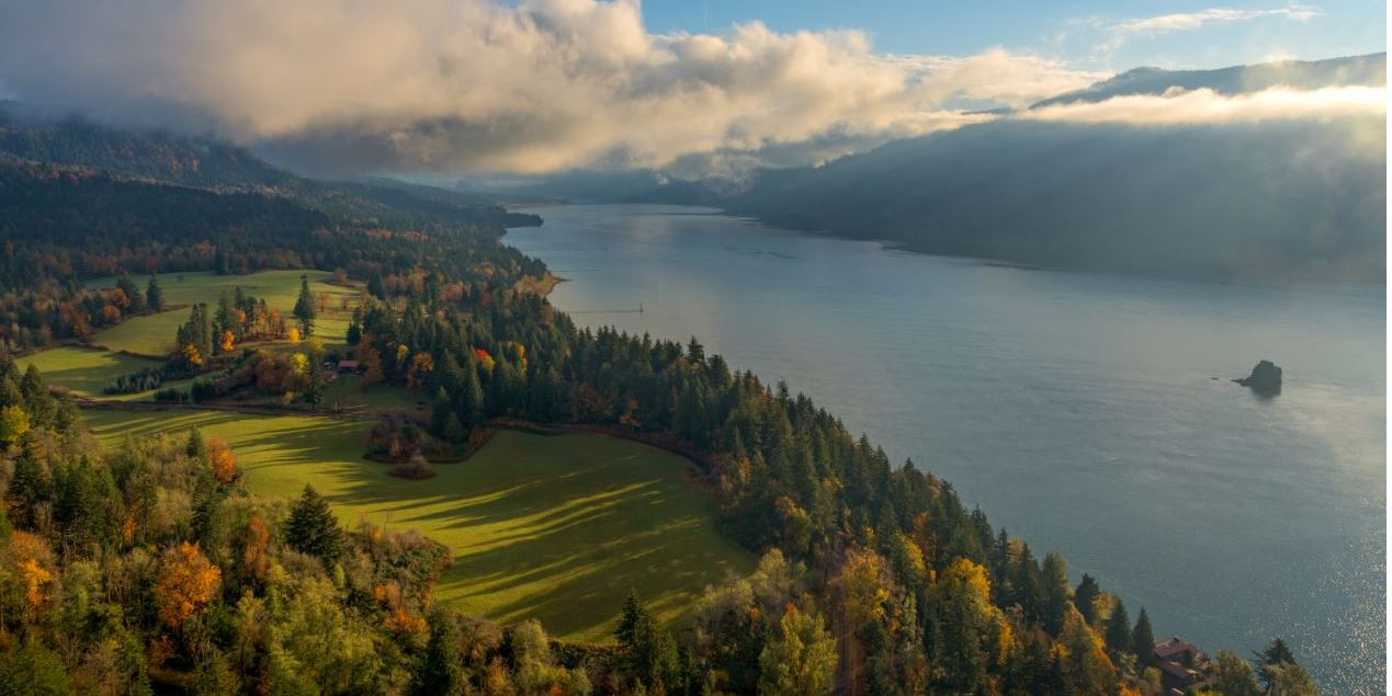
All Hooper Family trips to the PAC NW have included a “trip to the Gorge,” which started on the Washington side of the Columbia on Highway 14 headed to the Bridge of the Gods. One of the first stops was at Cape Horn, a precarious spot where there is just enough room to park, soak in the view and take pictures, safe from the cars and trucks passing bye. We did not realize there was a hike that was part of this side of the river, because the basalt cliffs seem to rise too quickly and too vertical to have a safe hiking trail up there.
Discovering such a trail, we decided to take a few hours out of our spring break and to check it out. Now we know that the trail has been a classic all along. We did not hike the full trail loop, but the sections we covered provided fantastic views of the Columbia River Gorge and the Oregon side of the Columbia. It proved a very worthwhile workout and hike up and down the slopes of Cape Horn for a Wednesday in March.

Hiking Cape Horn
The entire loop consists of two segments separated by Highway 14; each segment is mostly single track. Sections of the trail have been maintained by volunteers from the Washington Trail Association, who helped transform the hillside from an old road to Forest Service standards trail. We hiked the first segment to the wonderful vista point at an elevation of 1,300 feet. We started by leaving our car at the intersection of Salmon Falls Road and Highway 14, which has a Park & Ride, right next to and across the road from the trailhead. The signage, pit toilets, parking area, and maps are great and leave no room for doubt as to “which way is that trail anyway?”
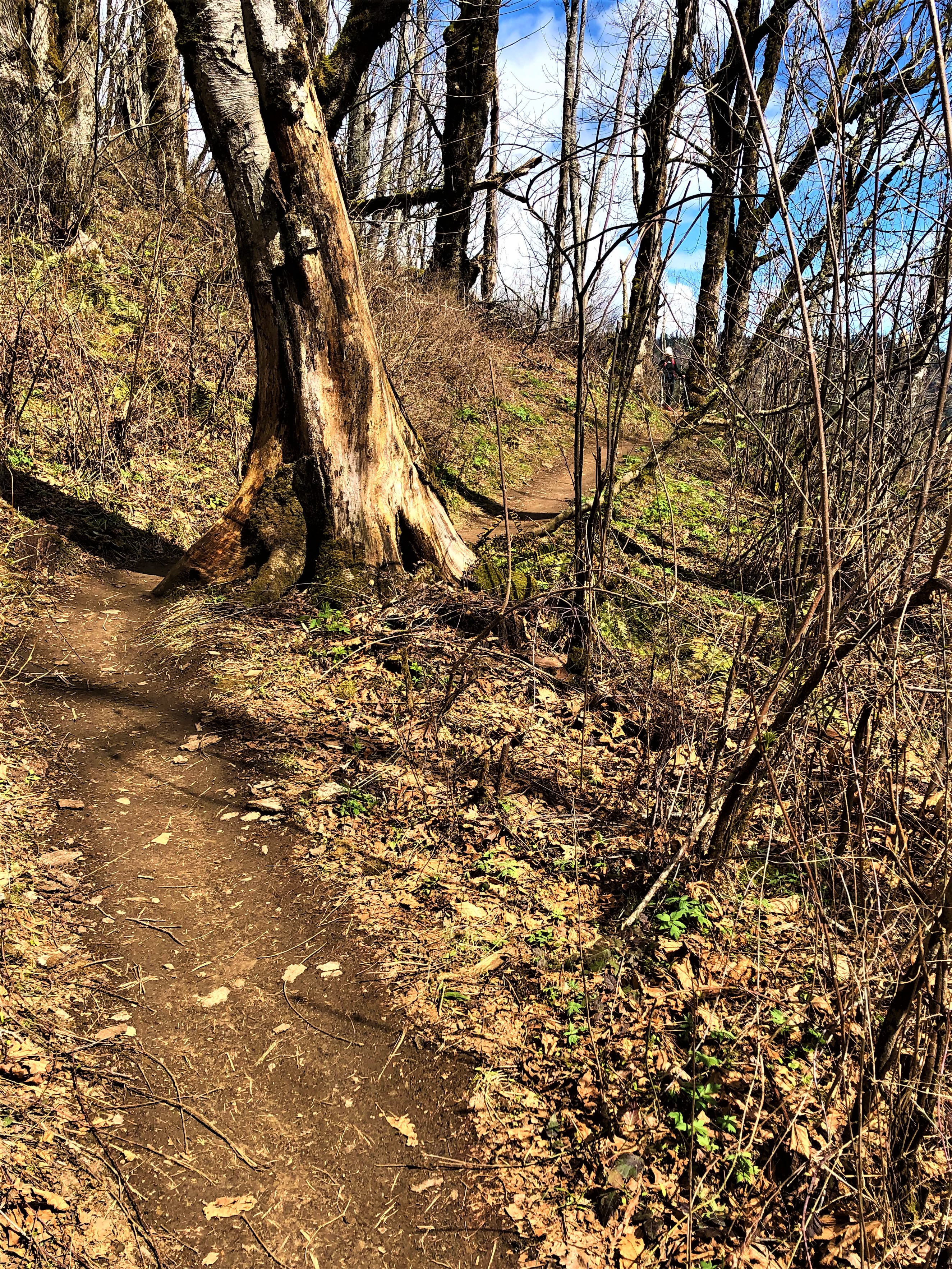
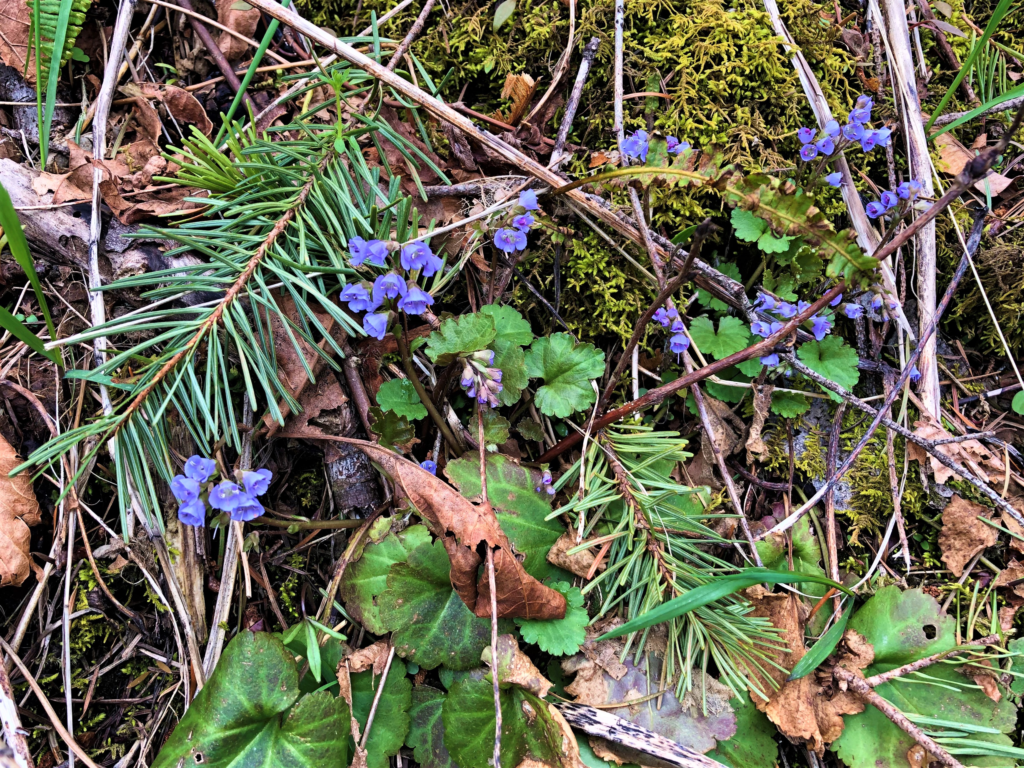
That day, Tracy and I took the first fork, the upper trail, right from the start. Crossing a small creek on the Twain Bridge, we began a steep and steady climb of the terrain north of Cape Horn. The entire trip was under a canopy of big leaf maples, Douglas Fir, and Western Hemlock trees. On the forest floor were sword ferns, Oregon Grape and vine maples. The path was damp, but surprisingly unmuddied, given all of the rain and snow we have had in the winter of 2022-23. We reached the first overlook at the 1.2 mile mark and took in views of the snow covered Cascades, including Mt. Adams.

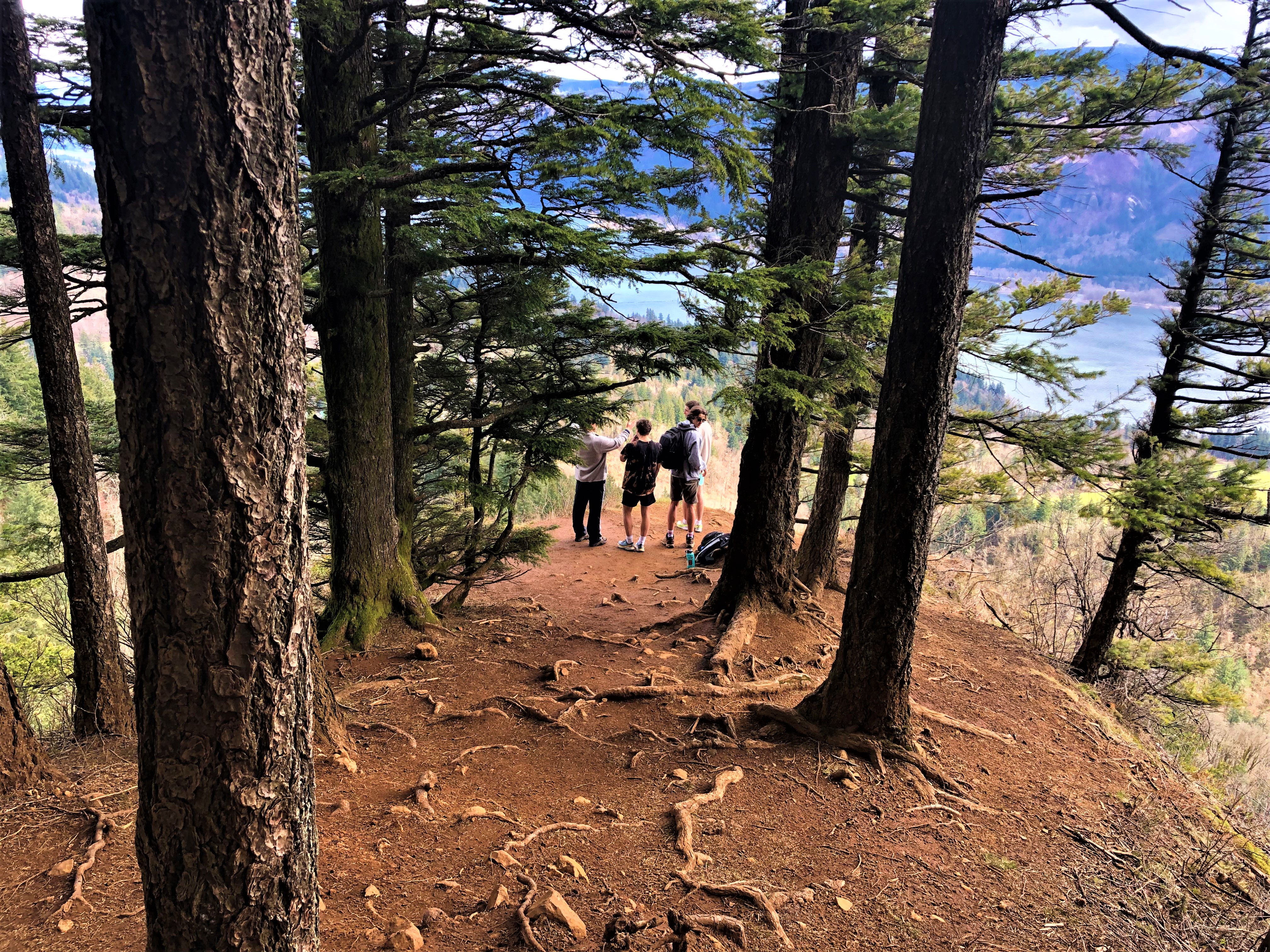
From there the trail ascends about .2 miles up several steep switchbacks, then traverses west and south past scenic views of Hamilton Mountain, Beacon Rock and the Gorge. We took in views from a short spur trail to Pioneer Point (with the Tipping Tree) with views to the southwest that include Angel’s Rest and Devil’s Rest. Students from Lakeridge High School were in front of us for most of the ascent and they took pictures on a new Polaroid which seem both retro and current.
We were heartened by the high school hikers, doing some fun hiking activities during their spring breaks. They passed us up the trail and mentioned that this was their second peak experience of the day and third peak in the Gorge this week! How refreshing is that?
We did not go to the next scenic viewpoint, named in honor of Nancy Russell, promising to ourselves that we would do so when we had more time and energy.


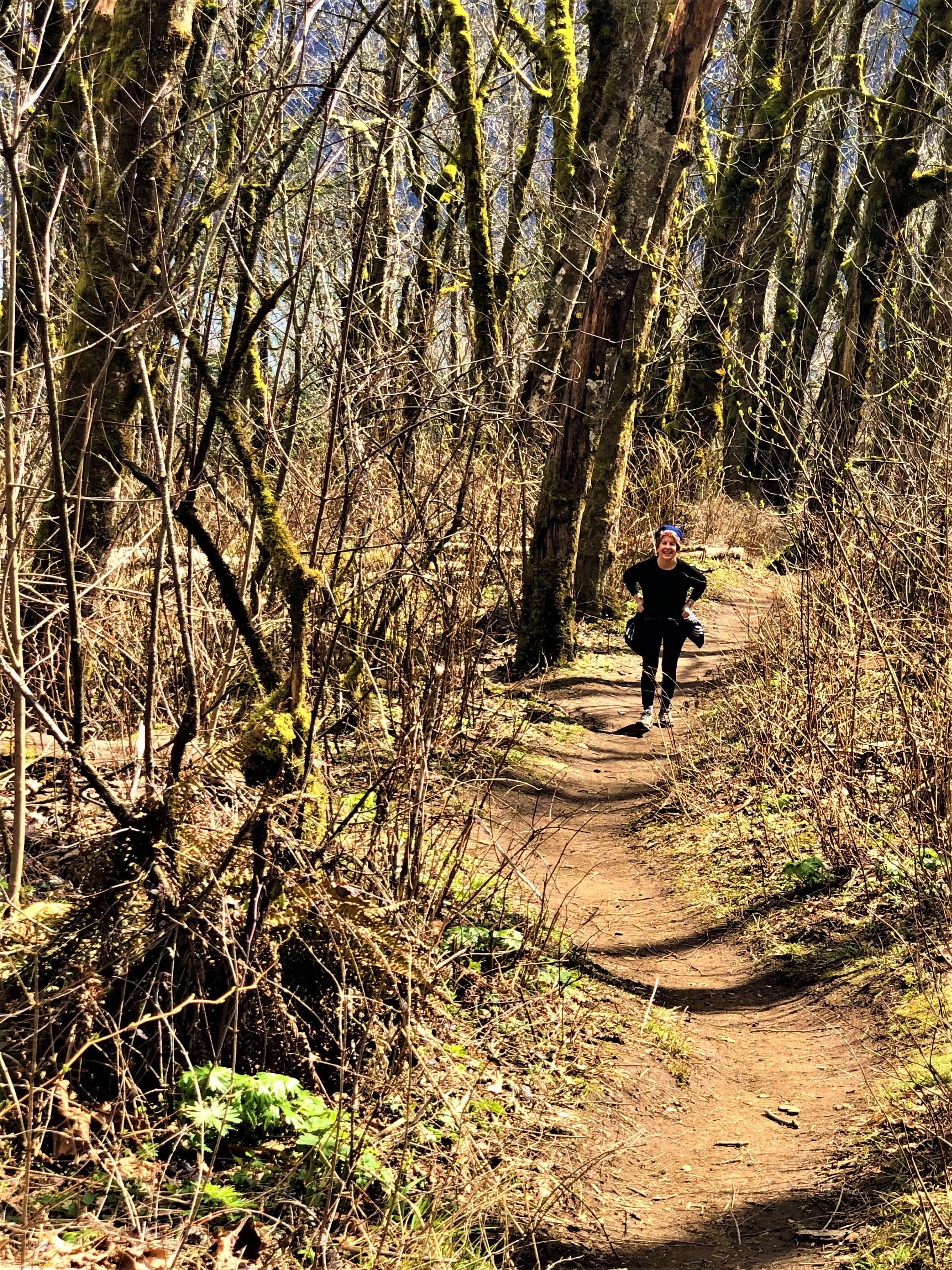
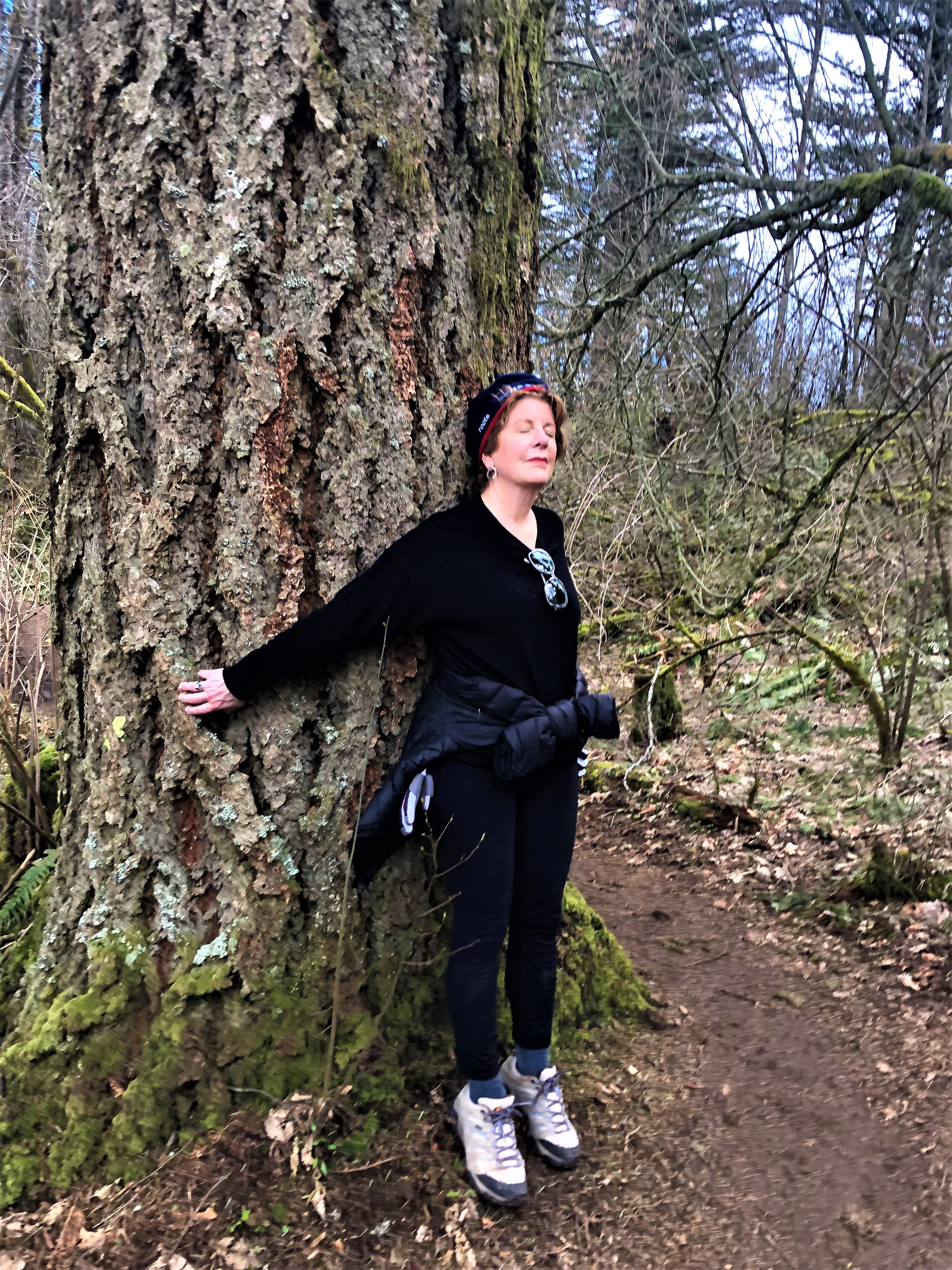
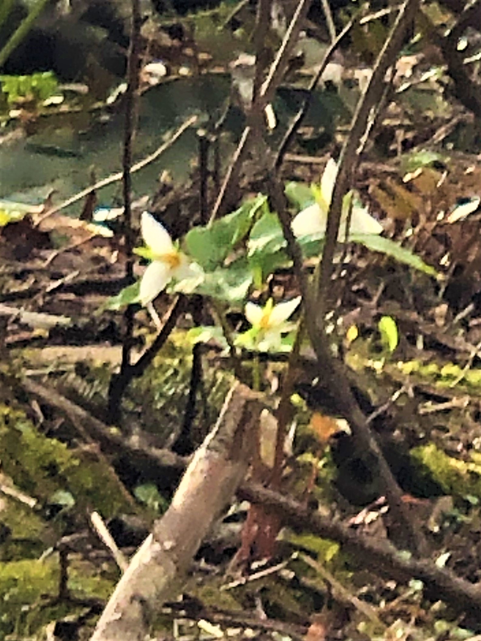
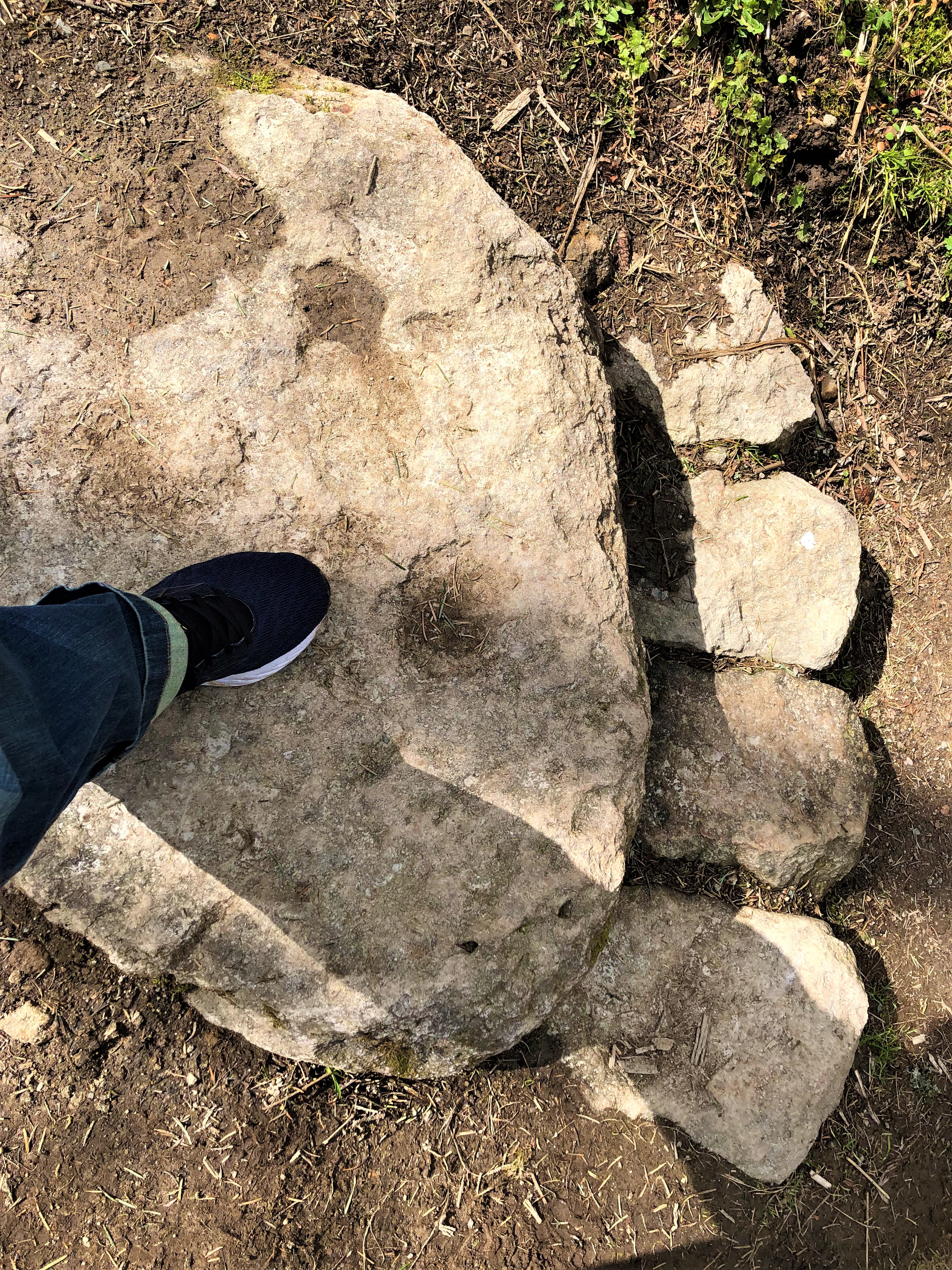
Tracy and I returned to the car from this viewpoint, which matched our time and limit for the day. We spotted trillium in bloom and the carefully lain stones of the trail builders, honoring Bigfoot for grins. Tracy always looks for trees that she can hug, saying they make her feel calmer around their steady trunks. This trip was no exception.
The rest of the Cape Horn Loop is well known to be worth every step, as the following four paragraph description depicts:
“Return to the main trail which now crosses a wide, wooded summit. The trail gradually descends and intersects an abandoned forest road. Bear left at this intersection. After 0.6 mile you will reach paved Strunk Road. Cross the road and follow a footpath left until you reach a wide gravel path. After .2 mile turn left at a signed intersection on a trail to the Nancy Russell Overlook. The overlook is a wonderful lunch spot with stone seating and spectacular gorge views.
If you want to continue on the loop, follow the trail markers and descend 1.2 miles via a series of switchbacks, crossing a creek over the Bootlegger Bridge, to a pedestrian underpass beneath Highway 14. Continue to follow the trail, taking short spurs to two lovely stone overlooks with expansive views. The first is Cape Horn Waterfall Overlook, the second Oak View Overlook. If the peregrine falcon closure is in effect, the trail will be closed just beyond Oak View Overlook.
Assuming the route is open, continue west and switchback downhill. The trail now veers east with occasional river views and a stunning view of Cigar Rock, pillars of basalt rising above the river. The trail climbs and falls in roller coaster fashion, through two moss-covered talus slopes, eventually arriving at a bridge in front of Cape Horn Falls. Sections of this part of the trail are narrow, steep and rocky so exercise caution. Hiking poles will be handy.
Continue to the east. The trail pops out of the woods at paved Cape Horn Road. Walk 1.3 miles gradually uphill, enjoying expansive views of cliffs and pastoral fields with goats and cows. Turn left at the trail sign. Use the new pedestrian underpass under Highway 14 to avoid crossing the busy road.” [1]


Background on the Columbia River Gorge National Scenic Area & Cape Horn
The top of Cape Horn was originally planned as a subdivision for many homes to be built in the 1980’s. The interested citizens in the Columbia River Gorge National Scenic Area were not formally in place, and therefore, those who opposed the development had no legal standing to stop it. In 1983, Friends’ of the Gorge founder, Nancy Russell, and her husband, Bruce Russell, took out a loan from a bank and made a no-interest loan to the Trust for Public Land (TPL), enabling TPL to buy 12 of the 16 lots, effectively stopping the subdivision. That same year the U.S. Forest Service bought the land from TPL.
Eighteen years later, in 2001, the Columbia Land Trust purchased two properties adjacent to the U.S. Forest Service tract, and with a 2004 Forest Service purchase, the Cape Horn loop was created. Trail enthusiasts designed and marked the switch back paths, making the area accessible to the public. In 2006, Friends of the Columbia Gorge Land Trust purchased the subdivision’s one developed lot, known as the “Cleveland Property.” Two years later board-by-board de-constructed the 5,500 square-foot home and 6,000 square-foot barn. Friends of the Columbia Gorge Land Trust also secured an option to purchase the one other privately held rim-view property. In the ensuing years the Friends’ Campaign for Cape Horn raised over $4 million. In 2011, they used these proceeds to secure the properties and provide a public overlook that honors Nancy Russell. Because of Nancy’s vision, all Oregonian, Washingtonians and visitors can enjoy this beautiful trail with its stunning viewpoints.

Nancy Russell Overlook on Cape Horn Trail

[1] References include: https://www.wta.org/go-hiking/hikes/cape-horn#hike-full-description
