Hikes: Cockscomb Loop Trail – Sedona
There is an interconnected series of trails that lie at the northern edge of Sedona, near Dry Creek. Trails in this system include Girdner, Cypress, Dawa, Cockscomb, Rupp, OK, Anaconda, and Snake Trails. These trails may be reached using the Arizona Cypress, Dawa, Cockscomb, Aerie or Girdner trailheads. Various loop hikes can be made by combining all or parts of several trails and a number of one-way hikes can be made using arranged transportation at a second trailhead.
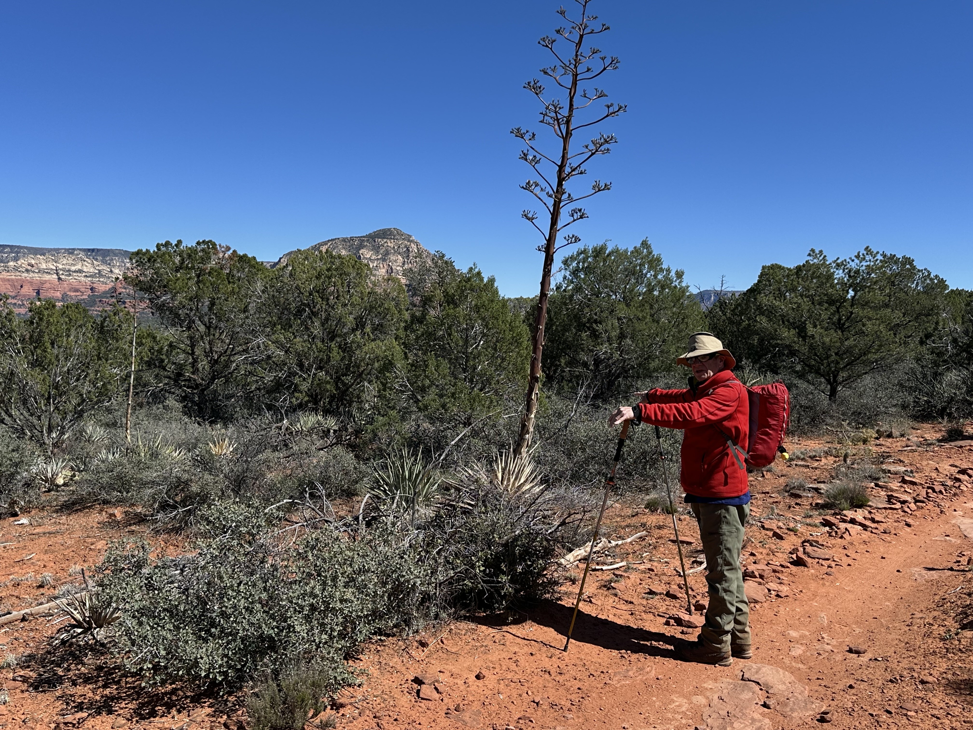
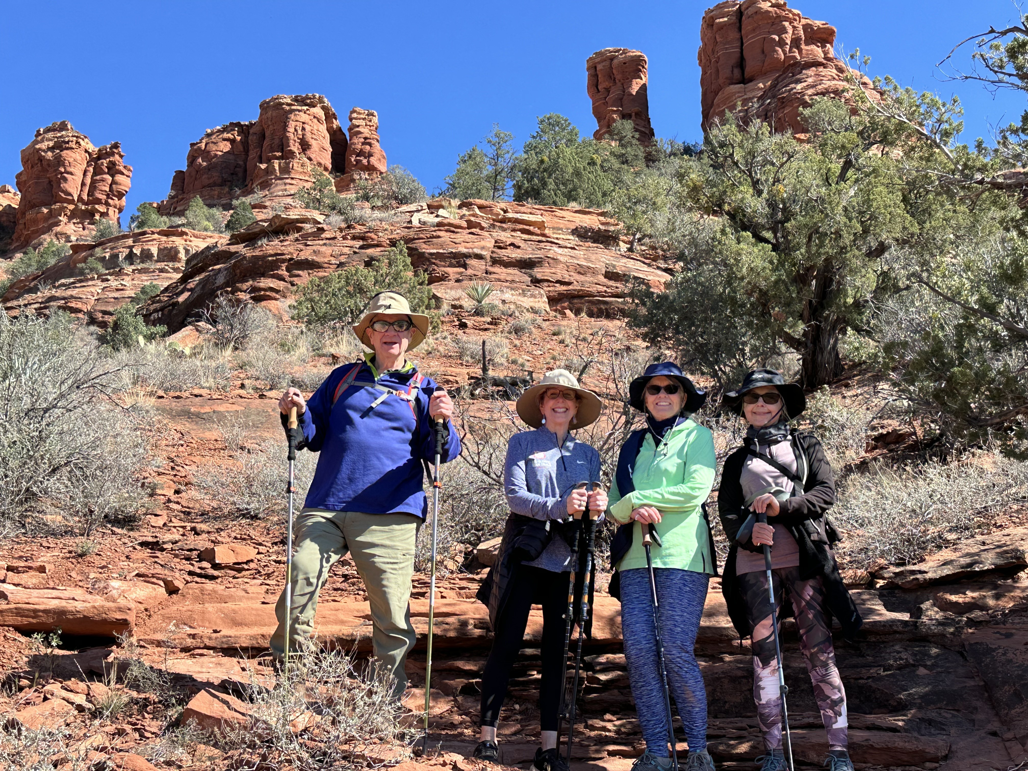
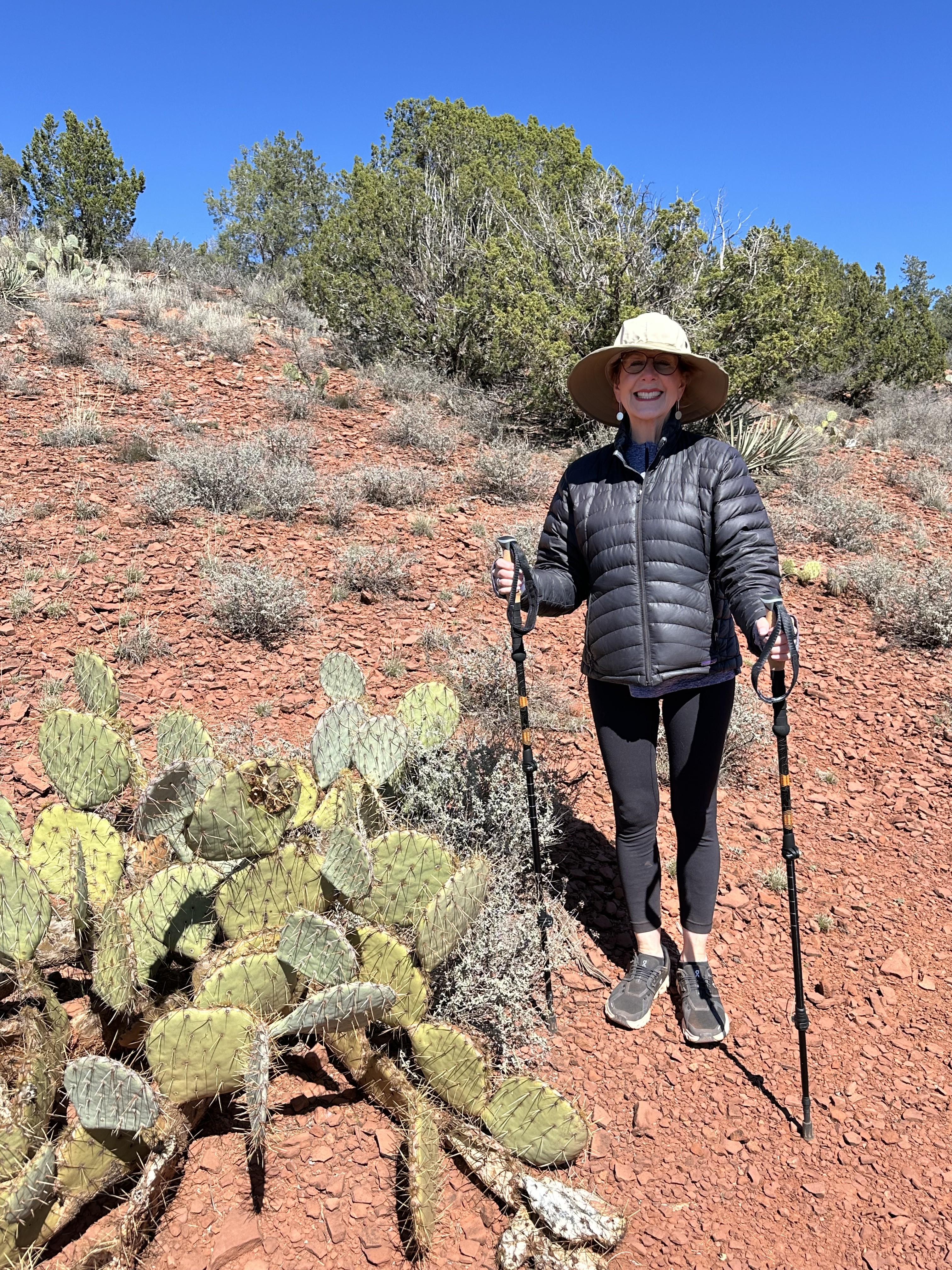
In general, the Cockscomb trails are well-suited to hiking, horses, and biking, although we saw a minor amount of horse manure and very few on our hike. The bikers were move prevalent on the really challenging inclines around Sedona, that got their fear gauge set for the adrenaline rush. Over all, the trail systems has easy to moderate grades (up and down) with little overall elevation change (~300-400 feet). The trails are well signed, but, as a word of caution, there are few shade spots, so be careful to have a hat, plenty of water and sunscreen.
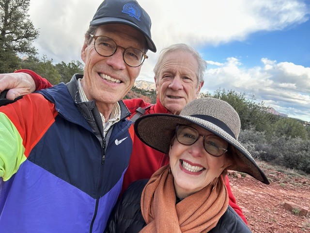
START: We were parked at the Aerie Trailhead and decided to make a one way trip, as this was our first day of hiking in awhile and it was hot and dry.
END: We ended our trip at the Girdner Cultural Park. From there we took an UBER back to the Aerie Trailhead to retrieve our car. It was a beautiful day and we took advantage of the sunlight to have maximum trail time.
GETTING THERE:
- Aerie: Drive past the Cockscomb/Fay Canyon trailhead on Boynton Pass Road for approximately a quarter mile. Turn left on Aerie Road and drive approximately a half mile to the trailhead on the right.
- Girdner/Cultural Park: from the intersection of Routes 89A and 179, take 89A west 4.2 miles to Cultural Park Place on the right at the traffic signal. Go north 0.2 miles to the picnic ramada and interpretive displays on the right.
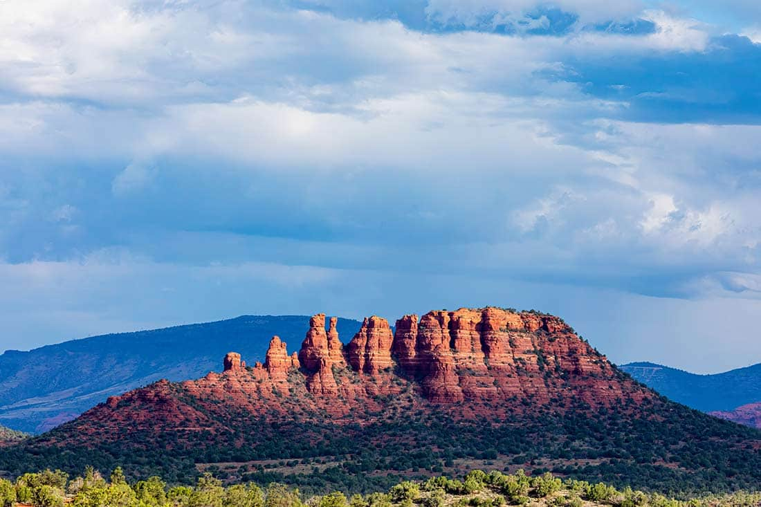
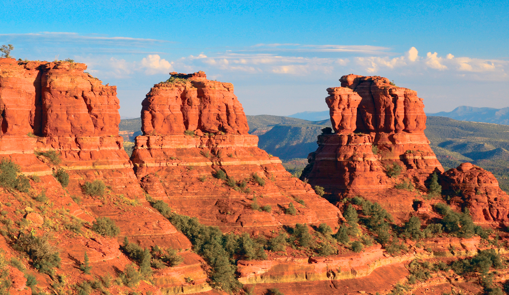
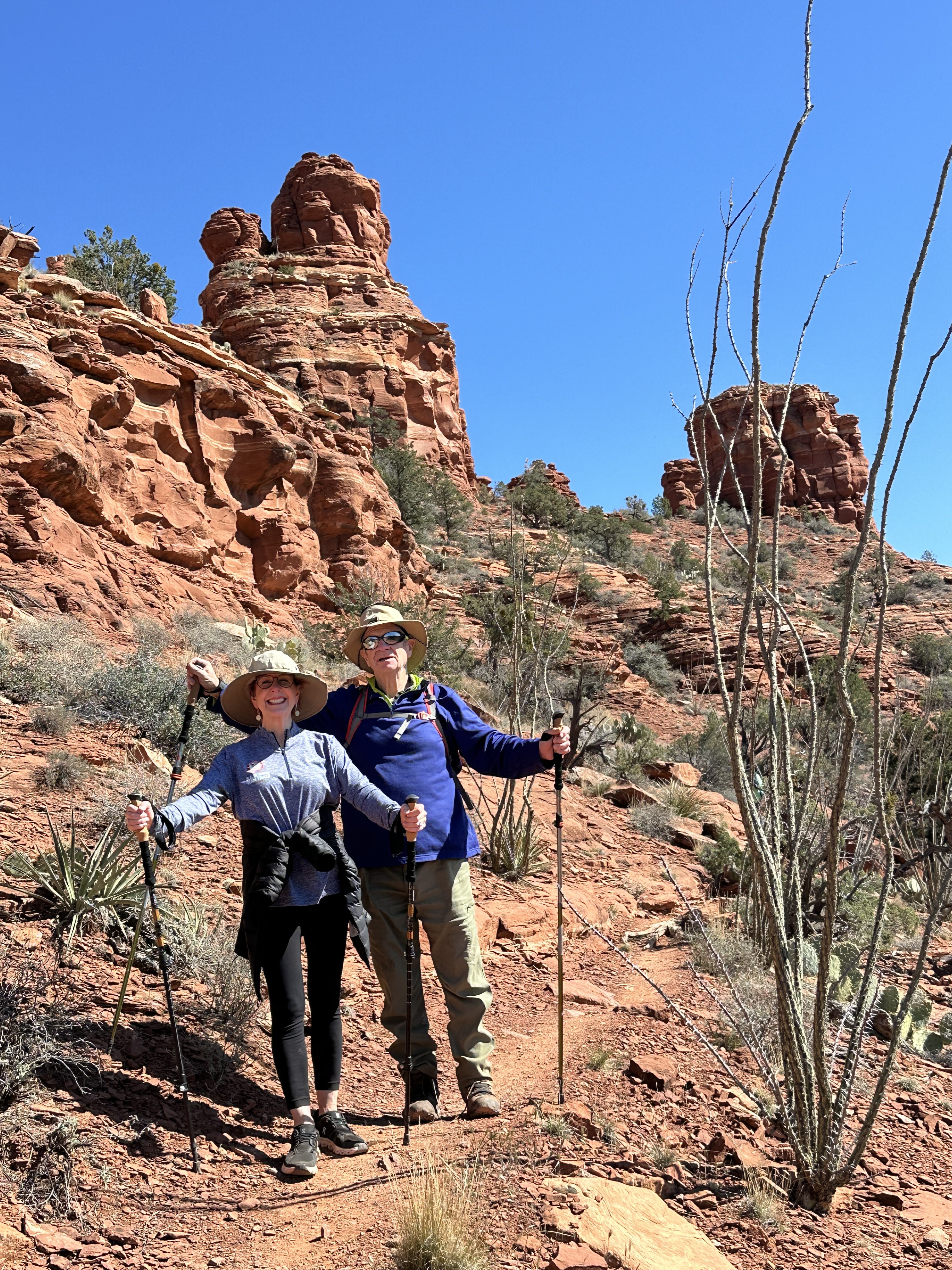
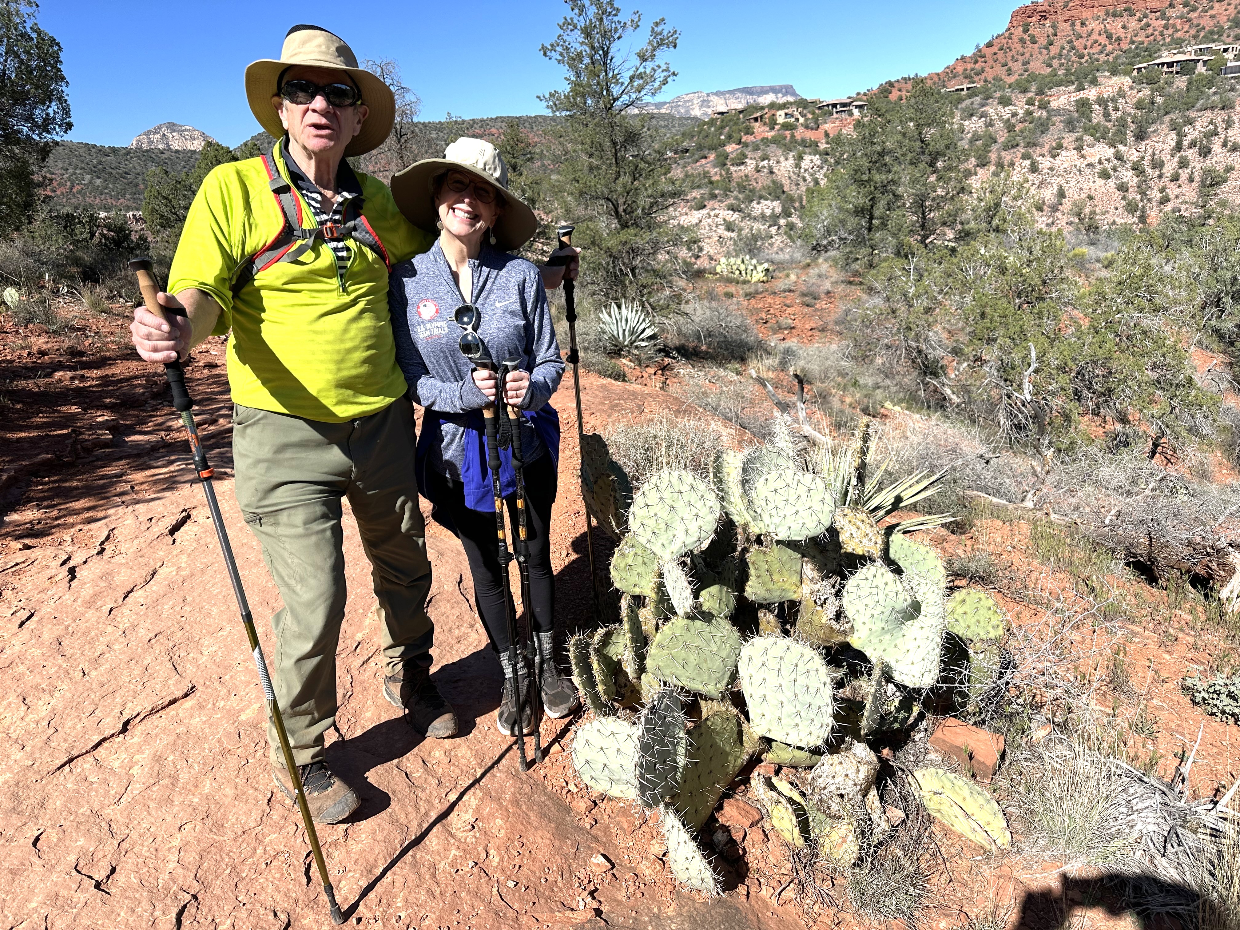
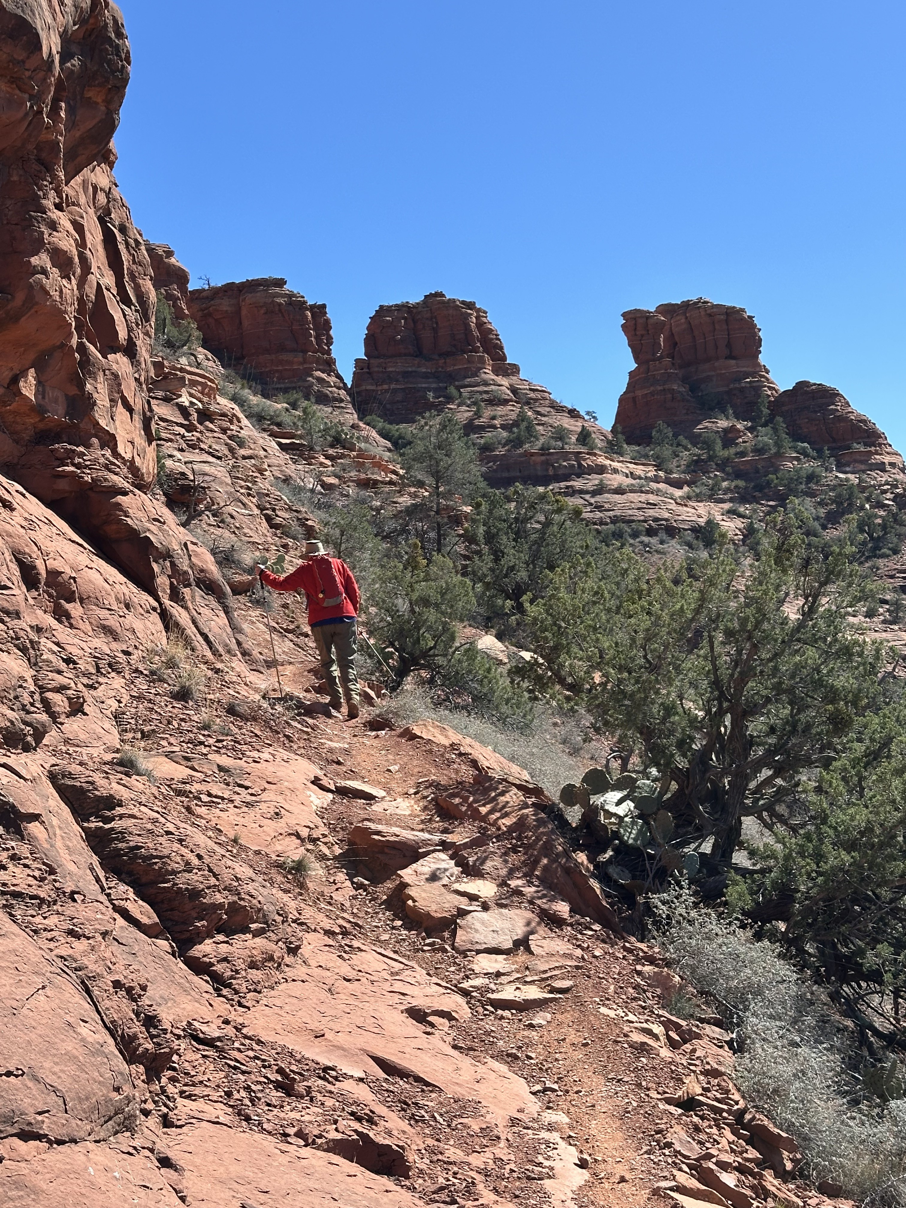
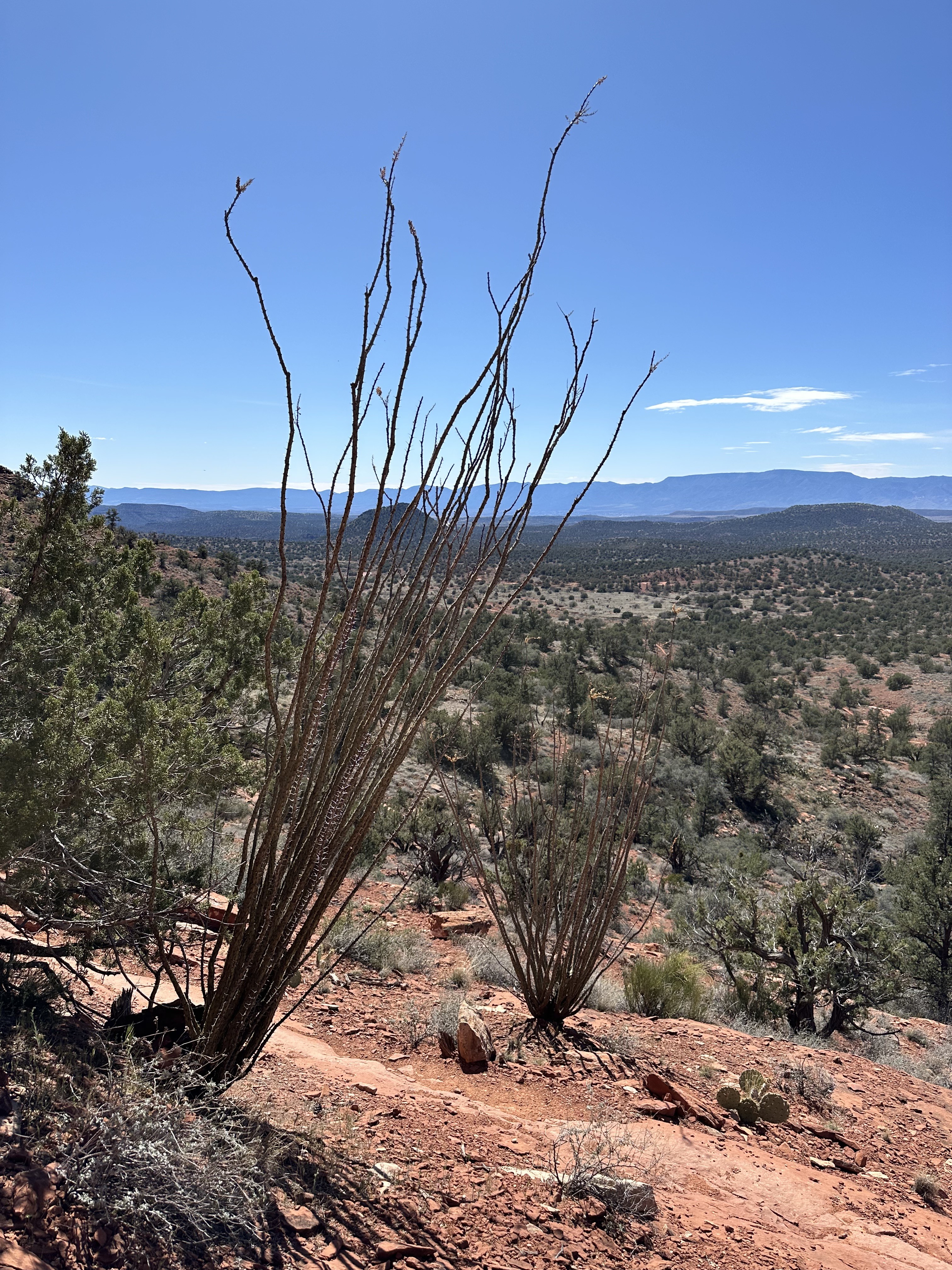
The Cockscomb, as a climbing destination, is a minor Sedona summit where hikers and climbers use a social trail for its duration, and with a short Class 3 move they arrive at the summit. My hiking companions and I decided NOT to summit the rock formation, preferring to walk around it rather than up. The vistas in all directions were magnificent, so we felt no need to get a birds eye view of the mesas, tabletops, and red rocks around us.
We started our hike at the Aerie Trailhead which was much less crowded than most others in the area, but still gets attention.
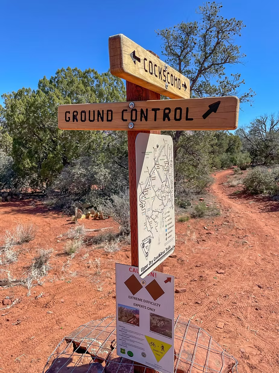
We headed along the Cockscomb Trail, the peak visible in the distance. We kept left at a signed junction with the path leading around the base of Cockscomb along the Outer Limits Trail, and then we veered off to the right along the Ground Control Trail.
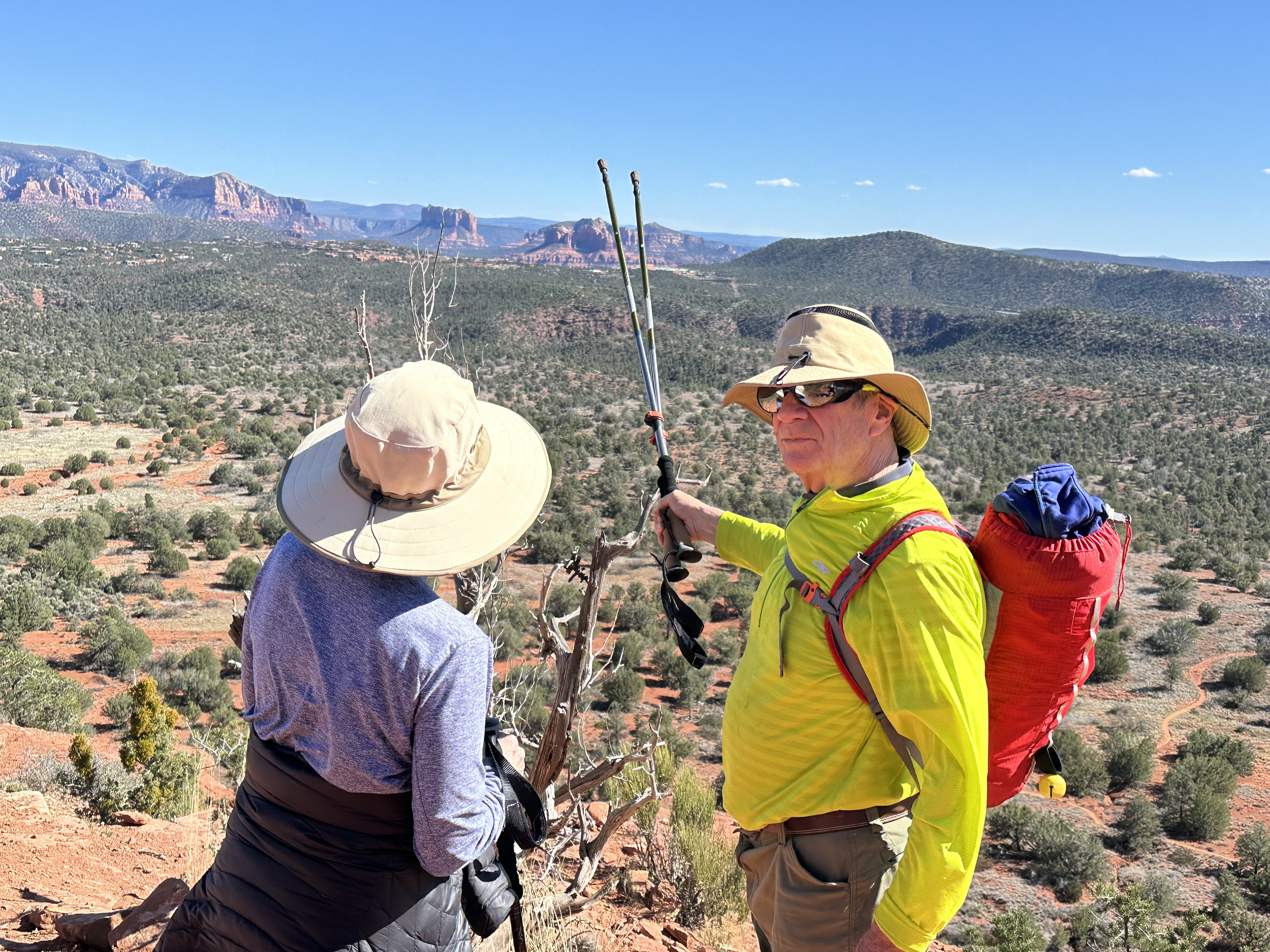
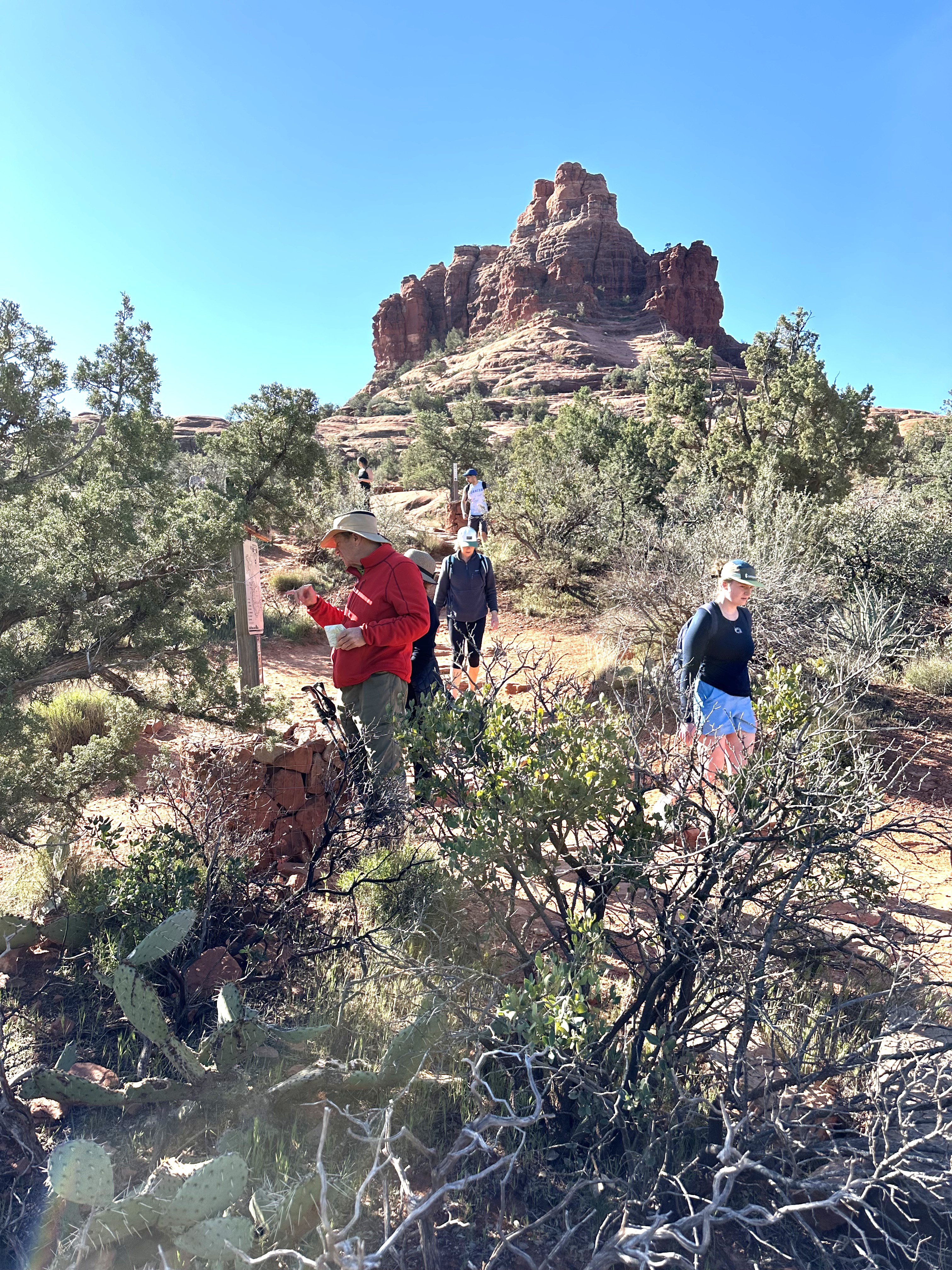
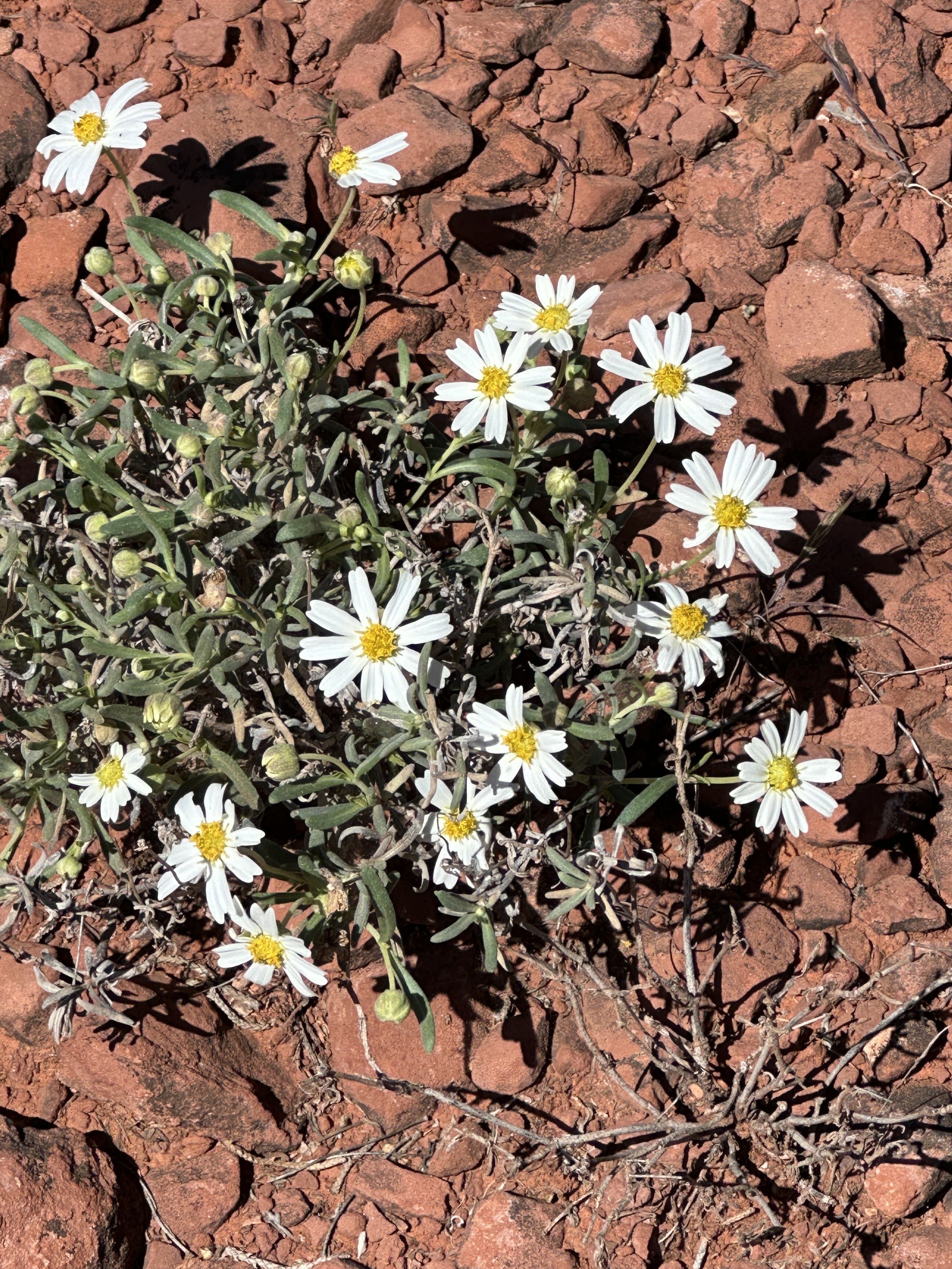
The view of the Cockscomb can be stunning in the spring! And a glimpse of Bell Rock is in there for those who have the keen eye for a non-chicken rock formation.